Hiking on the Tunxis Trail in Burlington, Connecticut
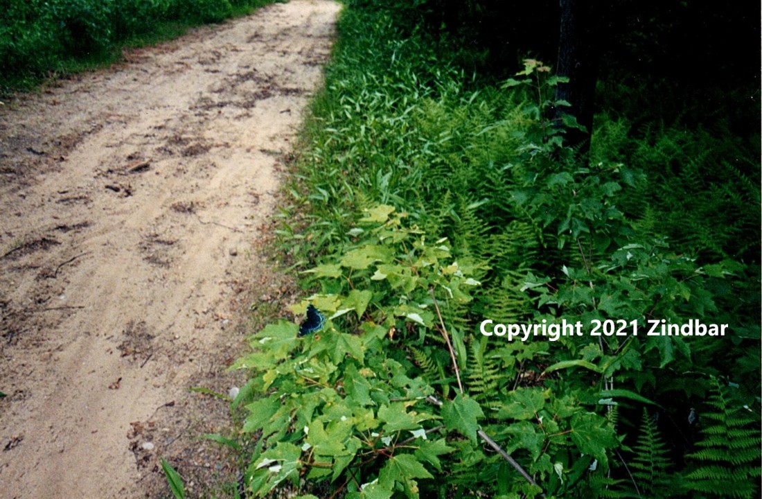
The Tunxis Trail extends through the center of the state of Connecticut, from the southern to the northern portion. One of the best segments of the trail is in Burlington off of Route 69, a largely wooded area that contains geological anomalies and beautiful scenery. Marked with orange dots, this part of the trail is easy to walk on with a few sloping hills.
Starting at the trailhead east of Route 69, there is an old cemetary on the left side of the trail, Lamson Corner Cemetary. Continuing straight ahead on a path that was an old service road, the Tunxis trail veers towards the northeast in the woods where there are some unusual rock formations to be found. One such formation is called the Devil’s Kitchen, after the manner in which several small groups of rocks are arranged on the ground, forming cloven canyons. The name of the formation goes back to Puritan days, who considered anything of cloven shape to somehow be associated with the devil.
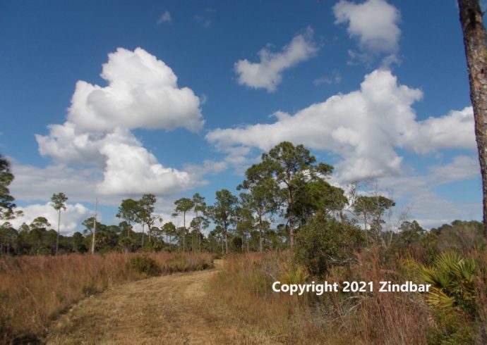
Wildflowers grow on either side of the trail ahead where there is a small clearing. Standing by the clearing, a hiker has the feeling of being in some magical land where a group of fairies nearby might be watching strangers quietly pass through their domain. Up ahead, however, the orange dot trail descends into the woods once again, passing through birch and evergreen trees.
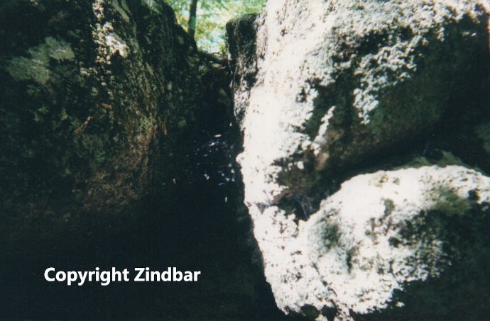
A series of steps leads up a small hill where the woods seem to go on forever, the view is of old fallen leaves plus woodland flowers like lady slippers, trillium, and violets. Part of the trail not too far from this point is made of rock that is not quite flat but goves one the feeling of walking at an angle near the crevice at the bottom. Of course, the crevice is closed and not open, but this is just another unique rock formation on the path.
The Tunxis Trail also provides a view of a brook which is the Punch Brook, located not too far from a local road in Burlington. This brook goes over a small rockfall where fish can be seen happily swimming in the water. It is not the end of the trail yet as it loops back towards the southeast where the trailhead began.
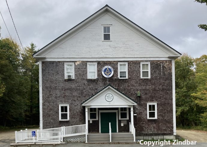
Back where the hike started, a small hill climb leads to the cemetary where a hiker can stop and look at the nineteenth century burial spot. Later Puritan designs of angel heads adorn some of the gravestones. The cemetary is much larger than it looks from the road, but it is left peacefully without disturbing the tenants.
Across the road, the Tunxis Trail continues. As on the east side, on the west side there are loops marked with different colors. Green forests are plentiful along with a number of sites: a river, an old abandoned truck in the woods, and the possibility of seeing a deer or two. It is easy to see why the settlers took to the area so quickly, since it is in such a peaceful location. A few old stone walls and cellar holes exist as evidence of people previously living here. One part of the trail leads into Sessions Woods, a local wildlife preserve. There is plenty of trail that makes up the Tunxis Trail so it is perfectly fine to walk on one part one day then return another day to complete.
Image Credit: Zindbar.